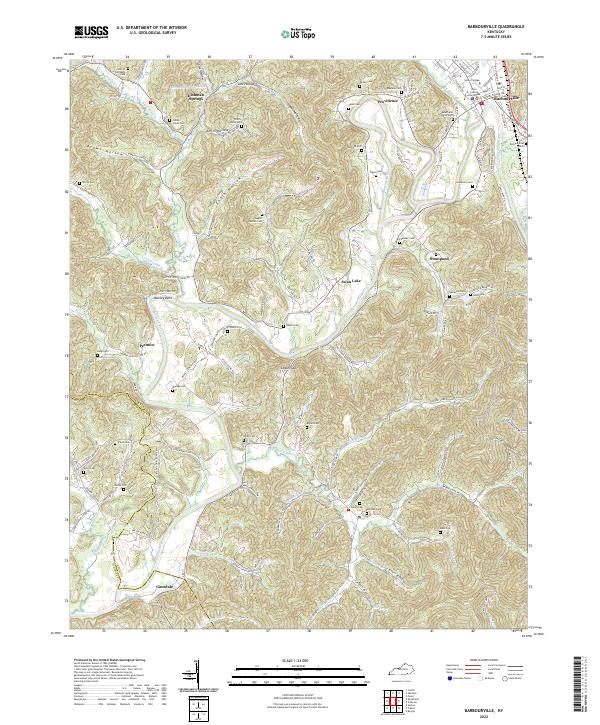
2022 Map of Barbourville
USGS Topo · Published 2022About this map
Barbourville serves as the focal point of this Knox County region, where the Knox County Courthouse and Union College anchor the town at the junction of Richland Cr and the Cumberland River. The river winds through the terrain, creating significant landforms like Mackey Bend and passing by Swan Lake. To the west and south, the landscape is defined by numerous hollows and gaps, including Engle Hollow and Logan Gap, which dictate the paths of local roads such as Granny Rose Hollow Rd and Wynn Hollow Rd.
Find a feature on this map
140 named features on this map. Tap any name to fly to it.
Don’t see what you’re looking for? This feature index may not catch every label — zoom into the map to look around manually.
Map Details
Editions of this 2022 Barbourville Map
This is the sole edition of this map. No revisions or reprints were ever made.
Other maps of this area

1886 · Cumberland Gap
USGS Topo · 1:125,000

1888 · Cumberland Gap
USGS Topo · 1:125,000

1890 · Williamsburg
USGS Topo · 1:125,000

1891 · Cumberland Gap
USGS Topo · 1:125,000

1894 · Williamsburg
USGS Topo · 1:125,000

1952 · Corbin
USGS Topo · 1:24,000

1952 · Barbourville
USGS Topo · 1:24,000

1952 · Heidrick
USGS Topo · 1:24,000

1952 · Fount
USGS Topo · 1:24,000

1952 · Saxton
USGS Topo · 1:24,000