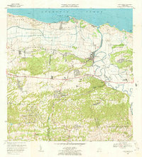
1969 Map of Barceloneta
USGS Topo · Published 1973About this map
The Rio Grande de Manati meanders through this coastal landscape, defining the transition from the Atlantic shoreline to the interior hills. The 1969 field-checked data captures the region's agricultural and industrial layout, notably the Central Plazuela and Central Monserrate sugar mill sites, which were central to the local economy. In the low-lying northern section, the Caño Tiburones drainage canal system dominates the Islote and Garrochales districts, illustrating the engineering efforts to reclaim coastal wetlands for cultivation.
Find a feature on this map
59 named features on this map. Tap any name to fly to it.
Don’t see what you’re looking for? This feature index may not catch every label — zoom into the map to look around manually.
Map Details
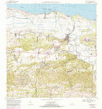
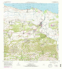
Editions of this 1969 Barceloneta Map
3 editions found
Other maps of this area

1942 · Manati
USGS Topo · 1:30,000

1942 · Arecibo
USGS Topo · 1:30,000

1942 · Barceloneta
USGS Topo · 1:30,000

1943 · Utuado NE
USGS Topo · 1:10,000

1946 · Barceloneta
USGS Topo · 1:30,000

1946 · Utuado
USGS Topo · 1:30,000

1946 · Ciales
USGS Topo · 1:30,000

1946 · Arecibo
USGS Topo · 1:30,000

1946 · Florida
USGS Topo · 1:30,000

1946 · Manati
USGS Topo · 1:30,000
Featured Places
- Barceloneta, Barceloneta
- Allende, Arecibo
- Asomante, Arecibo
- La Romana, Arecibo
- San Francisco, Barceloneta