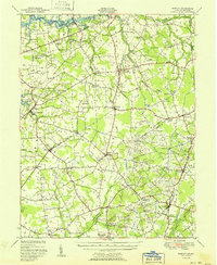
1951 Map of Barclay
USGS Topo · Published 1951About this map
The Chester River forms the northern boundary of this Delmarva landscape, where the fertile plains of Queen Anne's and Caroline Counties meet the Delaware state line. This mid-century survey illustrates a rural society organized around crossroads settlements and agricultural estates like Chino Farms. The Pennsylvania railroad line serves as a central spine for the region, connecting the primary hubs of Sudlersville and Barclay.
Find a feature on this map
76 named features on this map. Tap any name to fly to it.
Don’t see what you’re looking for? This feature index may not catch every label — zoom into the map to look around manually.
Map Details
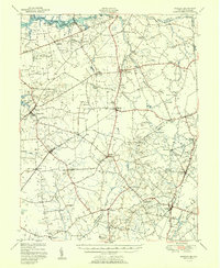
Editions of this 1951 Barclay Map
2 editions found
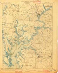
Other maps of this area

1898 · Choptank
USGS Topo · 1:125,000

1898 · Tolchester
USGS Topo · 1:125,000

1899 · Dover
USGS Topo · 1:125,000

1900 · Cecilton
USGS Topo · 1:62,500

1900 · Betterton
USGS Topo · 1:62,500
1901 · Chestertown
USGS Topo · 1:62,500

1903 · Tolchester
USGS Topo · 1:125,000

1904 · St. Michaels
USGS Topo · 1:62,500

1905 · Denton
USGS Topo · 1:62,500
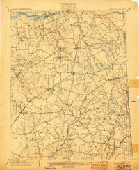
1905 · Barclay
USGS Topo · 1:62,500