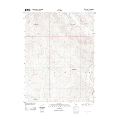
2013 Map of Barcus Creek SE
USGS Topo · Published 2013About this map
White River and its southern tributaries define the topographic character of this Rio Blanco County region. The landscape is marked by significant drainage systems including Yellow Creek and Piceance Creek, which flow through a network of canyons and draws. This 2013 survey illustrates the modern road network in a rural landscape, where Co-64 follows the river valley, and secondary routes like CO Road 88 and CO Road 20 traverse the higher plateaus. Distinctive terrain features such as Alkali Flat near the eastern boundary and Pinto Gulch in the central portion highlight the arid, eroded geography of Western Colorado. The map reflects a region largely managed for public land use and natural resource access, with the Public Land Survey System grid providing the structural framework for land identification.
Find a feature on this map
19 named features on this map. Tap any name to fly to it.
Don’t see what you’re looking for? This feature index may not catch every label — zoom into the map to look around manually.
Map Details
Editions of this 2013 Barcus Creek SE Map
This is the sole edition of this map. No revisions or reprints were ever made.
Other maps of this area

1907 · White River
USGS Topo · 1:125,000

1910 · White River
USGS Topo · 1:125,000

1952 · Wolf Ridge
USGS Topo · 1:24,000

1952 · Greasewood Gulch
USGS Topo · 1:24,000

1952 · Square S Ranch
USGS Topo · 1:24,000

1954 · Vernal
USGS Topo · 1:250,000

1956 · Grand Junction
USGS Topo · 1:250,000

1958 · Vernal
USGS Topo · 1:250,000

1959 · Grand Junction
USGS Topo · 1:250,000

1960 · Vernal
USGS Topo · 1:250,000