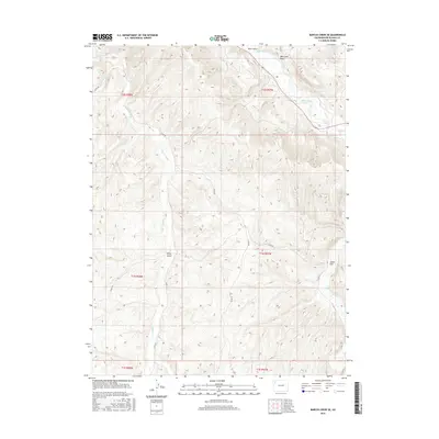
2016 Map of Barcus Creek SE
USGS Topo · Published 2016About this map
The White River winds through the northern portion of this Rio Blanco County landscape, serving as a primary drainage for the surrounding high-elevation terrain. This survey illustrates a network of seasonal watercourses and topographic depressions, such as Short Gulch and Tom Little Draw, which feed into the larger river system. To the south, Piceance Cr and Yellow Cr define the lower drainage basins, while Alkali Flat suggests a distinct geological transition in the southeastern corner.
Find a feature on this map
18 named features on this map. Tap any name to fly to it.
Don’t see what you’re looking for? This feature index may not catch every label — zoom into the map to look around manually.
Map Details
Editions of this 2016 Barcus Creek SE Map
This is the sole edition of this map. No revisions or reprints were ever made.
Other maps of this area

1907 · White River
USGS Topo · 1:125,000

1910 · White River
USGS Topo · 1:125,000

1952 · Wolf Ridge
USGS Topo · 1:24,000

1952 · Greasewood Gulch
USGS Topo · 1:24,000

1952 · Square S Ranch
USGS Topo · 1:24,000

1954 · Vernal
USGS Topo · 1:250,000

1956 · Grand Junction
USGS Topo · 1:250,000

1958 · Vernal
USGS Topo · 1:250,000

1959 · Grand Junction
USGS Topo · 1:250,000

1960 · Vernal
USGS Topo · 1:250,000