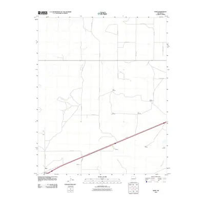
2010 Map of Bard
USGS Topo · Published 2010About this map
The settlement of Bard and its Bard Post Office anchor this corner of Quay County, illustrating the sparse but organized grid of eastern New Mexico's ranching country. The landscape is defined by an extensive network of range roads, including Quay Road M and Quay Road 68, which connect isolated outposts like Flint, Butler, and Adams. This survey shows a reliance on groundwater infrastructure, documented through uniquely named landmarks such as Twin Windmills, Tree Windmill, and Salty Windmill.
Find a feature on this map
27 named features on this map. Tap any name to fly to it.
Don’t see what you’re looking for? This feature index may not catch every label — zoom into the map to look around manually.
Map Details
Editions of this 2010 Bard Map
This is the sole edition of this map. No revisions or reprints were ever made.
Other maps of this area

1954 · Tucumcari
USGS Topo · 1:250,000

1958 · Tucumcari
USGS Topo · 1:250,000

1962 · Logan
USGS Topo · 1:62,500

1968 · Porter
USGS Topo · 1:24,000

1968 · Rock Camp
USGS Topo · 1:24,000

1968 · Blue Hole
USGS Topo · 1:24,000

1968 · Riley Camp
USGS Topo · 1:24,000

1968 · San Jon
USGS Topo · 1:24,000

1968 · Bard
USGS Topo · 1:24,000

1968 · Glenrio
USGS Topo · 1:24,000