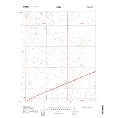
2023 Map of Bard
USGS Topo · Published 2023About this map
The settlement of Bard and the surrounding high plains of Quay County are defined by a network of rural routes and intermittent watercourses. Modern infrastructure like Q R 58.5 and Rte 66 cuts across the southeastern landscape, tracing the historic movement through this corner of New Mexico. The drainage of Frost Creek and Trujillo Creek provides the primary relief in an otherwise expansive terrain, where large townships such as t11n r35e and t12n r36e are partitioned by a grid of numbered roads including Quay Road J and Quay Road 60. For those researching local burial sites or lineage, the Endee Cem stands as a primary landmark in the eastern portion of the quadrangle, situated near the intersection of the county road system and the drainage basin.
Find a feature on this map
22 named features on this map. Tap any name to fly to it.
Don’t see what you’re looking for? This feature index may not catch every label — zoom into the map to look around manually.
Map Details
Editions of this 2023 Bard Map
This is the sole edition of this map. No revisions or reprints were ever made.
Other maps of this area

1954 · Tucumcari
USGS Topo · 1:250,000

1958 · Tucumcari
USGS Topo · 1:250,000

1962 · Logan
USGS Topo · 1:62,500

1968 · Porter
USGS Topo · 1:24,000

1968 · Rock Camp
USGS Topo · 1:24,000

1968 · Blue Hole
USGS Topo · 1:24,000

1968 · Riley Camp
USGS Topo · 1:24,000

1968 · San Jon
USGS Topo · 1:24,000

1968 · Bard
USGS Topo · 1:24,000

1968 · Glenrio
USGS Topo · 1:24,000