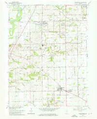
1962 Map of Bargersville
USGS Topo · Published 1976About this map
The Illinois Central Railroad anchors the eastern Johnson County landscape, connecting the agricultural crossroads of Bargersville and Old Bargersville to the surrounding rural townships. The 1960s terrain is defined by a dense network of small streams like Honey Creek and Mallow Run that drain toward the White River in the northwest. This era shows the transition from a traditional farming community toward suburban growth, evidenced by the Center Grove High School and the Drive-in Theater near McCarty.
Find a feature on this map
65 named features on this map. Tap any name to fly to it.
Don’t see what you’re looking for? This feature index may not catch every label — zoom into the map to look around manually.
Map Details
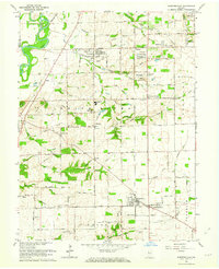
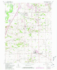
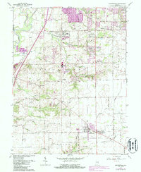
Editions of this 1962 Bargersville Map
4 editions found
Other maps of this area

1942 · Franklin
USGS Topo · 1:125,000

1947 · Franklin
USGS Topo · 1:62,500

1948 · Franklin
USGS Topo · 1:24,000

1948 · Maywood
USGS Topo · 1:24,000

1948 · Beech Grove
USGS Topo · 1:24,000

1948 · Trafalgar
USGS Topo · 1:24,000

1950 · Franklin
USGS Topo · 1:62,500

1952 · Bargersville
USGS Topo · 1:24,000

1953 · Greenwood
USGS Topo · 1:24,000

1953 · Bridgeport
USGS Topo · 1:24,000