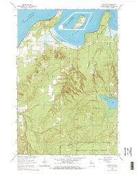
1964 Map of Bark Bay
USGS Topo · Published 1965About this map
Bark Point and Roman Point define the northern shoreline of this mid-1960s study, reaching into the cold waters of Lake Superior on the Bayfield Peninsula. The landscape transition from the open waters of Bark Bay and Siskiwit Bay into the dense interior of the Chequamegon National Forest reveals a network of drainage systems, including Lost Creek No 3 and the Bark River. Local history is anchored by the Herbster Cem, while the industrial footprint of the era is marked by scattered Gravel Pits and the forest boundary dividing the townships of Clover and Bell. In the southern reaches, the East Fork Cranberry River and Siskiwit Lake stand as prominent natural landmarks within a heavily forested and marshy terrain.
Find a feature on this map
19 named features on this map. Tap any name to fly to it.
Don’t see what you’re looking for? This feature index may not catch every label — zoom into the map to look around manually.
Map Details
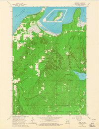
Editions of this 1964 Bark Bay Map
2 editions found
Other maps of this area

1943 · Port Wing
USGS Topo · 1:48,000

1943 · Iron Lake
USGS Topo · 1:48,000

1944 · Moquah
USGS Topo · 1:48,000

1944 · Cornucopia
USGS Topo · 1:48,000

1946 · Cornucopia
USGS Topo · 1:48,000

1946 · Port Wing
USGS Topo · 1:48,000

1947 · Moquah
USGS Topo · 1:48,000

1947 · Iron Lake
USGS Topo · 1:48,000

1953 · Ashland
USGS Topo · 1:250,000

1958 · Ashland
USGS Topo · 1:250,000