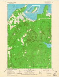
1964 Map of Bark Bay
USGS Topo · Published 1965About this map
Bark Point and Roman Point define this coastal landscape where the waters of Lake Superior meet the northern Wisconsin shoreline. In the mid-1960s, the area was characterized by a mix of managed timberlands within the Chequamegon National Forest and local industrial activity, evidenced by several Gravel Pits scattered near the coast. The settlement pattern is relatively sparse, with the Herbster Cem serving as a significant landmark for local family histories.
Find a feature on this map
19 named features on this map. Tap any name to fly to it.
Don’t see what you’re looking for? This feature index may not catch every label — zoom into the map to look around manually.
Map Details
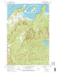
Editions of this 1964 Bark Bay Map
2 editions found
Other maps of this area

1943 · Port Wing
USGS Topo · 1:48,000

1943 · Iron Lake
USGS Topo · 1:48,000

1944 · Moquah
USGS Topo · 1:48,000

1944 · Cornucopia
USGS Topo · 1:48,000

1946 · Cornucopia
USGS Topo · 1:48,000

1946 · Port Wing
USGS Topo · 1:48,000

1947 · Moquah
USGS Topo · 1:48,000

1947 · Iron Lake
USGS Topo · 1:48,000

1953 · Ashland
USGS Topo · 1:250,000

1958 · Ashland
USGS Topo · 1:250,000