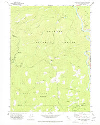
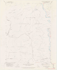
1974 Map of Bark Shanty Gulch
USGS Topo · Published 1977About this map
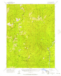
Klamath National Forest and Six Rivers National Forest converge in this high-altitude survey of Northern California. The landscape is defined by the deep incision of the Klamath River, which is spanned by the R Lyle Davis Bridge near the eastern margin. Human activity is largely concentrated in remote forest camps and along narrow ridge roads. Small outposts like Bark Shanty Camp, Beans Camp, and Hines Camp speak to the region's historical reliance on timber and forest management.
Find a feature on this map
36 named features on this map. Tap any name to fly to it.
Don’t see what you’re looking for? This feature index may not catch every label — zoom into the map to look around manually.
Map Details
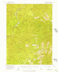
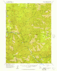
Editions of this 1974 Bark Shanty Gulch Map
2 editions found
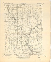
Other maps of this area

1914 · Seiad
USGS Topo · 1:125,000

1922 · Preston Peak
USGS Topo · 1:125,000

1922 · Seiad
USGS Topo · 1:125,000
1925 · Hoopa
USGS Topo · 1:125,000

1948 · Weed
USGS Topo · 1:250,000

1950 · Weed
USGS Topo · 1:250,000
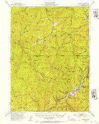
1952 · Orleans
USGS Topo · 1:62,500
1955 · Dillon Mtn
USGS Topo · 1:62,500
1955 · Ukonom Lake
USGS Topo · 1:62,500
1955 · Forks of Salmon
USGS Topo · 1:62,500