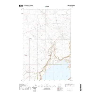
2020 Map of Barker Canyon
USGS Topo · Published 2020About this map
Banks Lake dominates the southern reaches of this landscape, its expansive waters meeting the dramatic rising terrain of the Coulee country. The boundary between Douglas and Grant counties cuts through this high desert region, where geological landmarks like Steamboat Butte and Barker Butte rise above the surrounding plateaus. The topography is defined by the sharp descent into Barker Canyon, where Barker Canyon Lake sits as a smaller water feature tucked beneath the canyon walls. A network of rural routes, including RD 26 Ne and Barker Canyon Rd, provides access to the higher elevations and local grazing lands. This survey captures a moment in the modern management of these shared county lands, highlighting the contrast between the engineered water systems and the natural volcanic formations like Cache Butte.
Find a feature on this map
16 named features on this map. Tap any name to fly to it.
Don’t see what you’re looking for? This feature index may not catch every label — zoom into the map to look around manually.
Map Details
Editions of this 2020 Barker Canyon Map
This is the sole edition of this map. No revisions or reprints were ever made.
Other maps of this area

1950 · Boot Mtn
USGS Topo · 1:62,500

1950 · Alameda Flat
USGS Topo · 1:62,500

1952 · Alameda Flat
USGS Topo · 1:62,500

1953 · Ritzville
USGS Topo · 1:250,000

1954 · Okanogan
USGS Topo · 1:250,000

1958 · Okanogan
USGS Topo · 1:250,000

1959 · Ritzville
USGS Topo · 1:250,000

1965 · Ritzville
USGS Topo · 1:250,000

1968 · Steamboat Rock SW
USGS Topo · 1:24,000

1968 · Barker Canyon
USGS Topo · 1:24,000