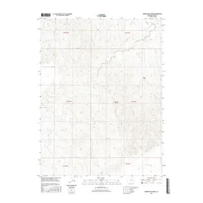
2016 Map of Barking Dog Spring
USGS Topo · Published 2016About this map
Barking Dog Spring and Picnic Springs anchor this topographical study of the eastern Colorado high plains, where the land begins to crease into deep drainage systems. The survey area is defined by the headwaters of Beaver Cr and the winding course of the Arikaree River at the southern edge of the quadrangle. This landscape is a patchwork of section lines and gravel paths like Co Rd 166 and Ridge Rd, reflecting a grid-based approach to the terrain that overlooks prominent natural landmarks such as Cheyenne Lookout.
Find a feature on this map
18 named features on this map. Tap any name to fly to it.
Don’t see what you’re looking for? This feature index may not catch every label — zoom into the map to look around manually.
Map Details
Editions of this 2016 Barking Dog Spring Map
This is the sole edition of this map. No revisions or reprints were ever made.
Other maps of this area

1891 · Limon
USGS Topo · 1:125,000

1892 · Limon
USGS Topo · 1:125,000

1954 · Limon
USGS Topo · 1:250,000

1957 · Limon
USGS Topo · 1:250,000

1958 · Limon
USGS Topo · 1:250,000
1969 · Noonen Reservoir SW
USGS Topo · 1:24,000

1970 · Agate
USGS Topo · 1:24,000
1970 · Beuck Draw
USGS Topo · 1:24,000

1970 · Limon
USGS Topo · 1:24,000
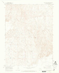
1970 · Barking Dog Spring
USGS Topo · 1:24,000