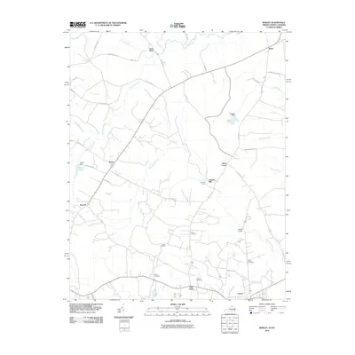
2010 Map of Barley
USGS Topo · Published 2010About this map
The lowlands along the North Carolina and Virginia border are defined by a network of slow-moving waterways and small agricultural crossroads settlements. Garners Mill stands as a prominent local landmark on Beaverpond Creek, where the Garners Dam regulates the water flow near Slates Corner. The landscape is dotted with ancestral burial grounds, including Rook Cemetery, Squire Cemetery, and Moody Cemetery, which offer valuable locations for genealogical research in this rural corridor.
Find a feature on this map
50 named features on this map. Tap any name to fly to it.
Don’t see what you’re looking for? This feature index may not catch every label — zoom into the map to look around manually.
Map Details
Editions of this 2010 Barley Map
This is the sole edition of this map. No revisions or reprints were ever made.
Other maps of this area

1919 · White Plains
USGS Topo · 1:48,000

1919 · Emporia
USGS Topo · 1:62,500

1920 · White Plains
USGS Topo · 1:62,500

1942 · Emporia
USGS Topo · 1:62,500

1953 · Norfolk
USGS Topo · 1:250,000

1963 · Powellton
USGS Topo · 1:24,000

1963 · Skippers
USGS Topo · 1:24,000

1963 · Barley
USGS Topo · 1:24,000

1963 · Emporia
USGS Topo · 1:24,000

1963 · Ante
USGS Topo · 1:24,000