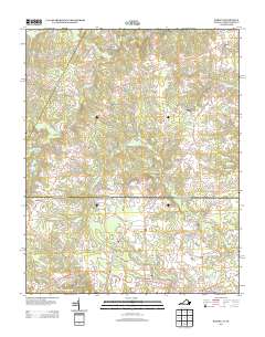
2013 Map of Barley
USGS Topo · Published 2013About this map
Gaston and the surrounding rural landscape along the North Carolina and Virginia border are defined by a complex network of small creeks and crossroads settlements. Central to the topography is Beaverpond Cr, which snakes through the terrain toward the southeastern corner of the quadrangle. Several historic locales, such as Garners Mill and Paris Store, suggest a long-standing pattern of localized commerce centered on milling and small-scale general stores.
Find a feature on this map
71 named features on this map. Tap any name to fly to it.
Don’t see what you’re looking for? This feature index may not catch every label — zoom into the map to look around manually.
Map Details
Editions of this 2013 Barley Map
This is the sole edition of this map. No revisions or reprints were ever made.
Other maps of this area

1919 · White Plains
USGS Topo · 1:48,000

1919 · Emporia
USGS Topo · 1:62,500

1920 · White Plains
USGS Topo · 1:62,500

1942 · Emporia
USGS Topo · 1:62,500

1953 · Norfolk
USGS Topo · 1:250,000

1963 · Powellton
USGS Topo · 1:24,000

1963 · Skippers
USGS Topo · 1:24,000

1963 · Barley
USGS Topo · 1:24,000

1963 · Emporia
USGS Topo · 1:24,000

1963 · Ante
USGS Topo · 1:24,000