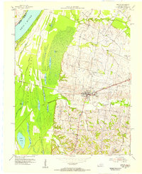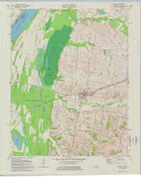
1977 Map of Barlow
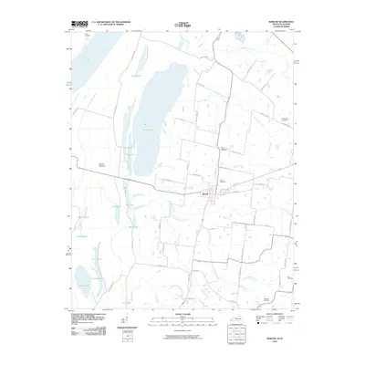
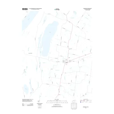
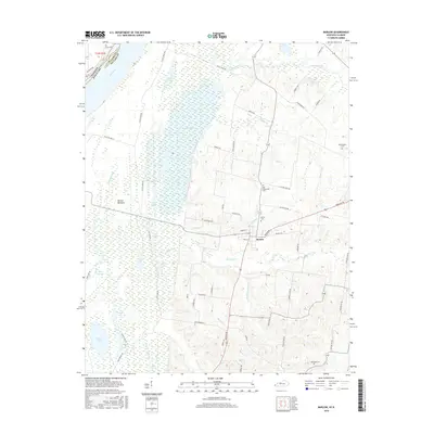
USGS Topo · Published 1977About this map
The Ohio River floodplain dominates the western landscape of this Ballard County quadrangle, where a complex network of wetlands like Axe Lake and Brushy Pond defines the Barlow Bottoms. These lowlands, largely preserved within the Ballard Wildlife Management Area, contrast with the settled interior where the town of Barlow serves as a local hub. The map captures the infrastructure of the late 1970s, featuring the Illinois Central Gulf railroad and an Old Railroad Grade that speaks to earlier transportation routes through the marshes.
Find a feature on this map
47 named features on this map. Tap any name to fly to it.
Don’t see what you’re looking for? This feature index may not catch every label — zoom into the map to look around manually.
Map Details
Editions of this 1977 Barlow Map
This is the sole edition of this map. No revisions or reprints were ever made.
Historical Maps of Barlow Through Time
7 maps found