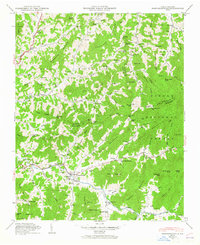
1946 Map of Barnardsville
USGS Topo · Published 1965About this map
Barnardsville and the surrounding mountain settlements are detailed during a period of established highland farming and community growth in the late 1940s. The landscape is defined by the headwaters of the Ivy River and its numerous tributaries, including Paint Fork and Dillingham Creek, which carve deep valleys between ridges like Chestnut Mountain and Ledford Mountain. The map reveals a high density of family burial grounds and country churches, such as Marshbanks Cem, Big Ivy Cem, and Antioch Ch, serving as a vital record for genealogists.
Find a feature on this map
112 named features on this map. Tap any name to fly to it.
Don’t see what you’re looking for? This feature index may not catch every label — zoom into the map to look around manually.
Map Details
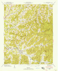
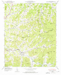
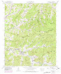
Editions of this 1946 Barnardsville Map
4 editions found
Other maps of this area

1894 · Asheville
USGS Topo · 1:125,000

1900 · Mount Mitchell
USGS Topo · 1:125,000

1901 · Asheville
USGS Topo · 1:125,000

1902 · Mount Mitchell
USGS Topo · 1:125,000

1935 · Montreat
USGS Topo · 1:24,000

1935 · Black Brothers
USGS Topo · 1:24,000

1935 · Burnsville
USGS Topo · 1:24,000

1935 · Bald Creek
USGS Topo · 1:24,000

1935 · Barnardsville
USGS Topo · 1:24,000

1935 · Craggy Pinnacle
USGS Topo · 1:24,000