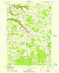
1943 Map of Barnes Corners
USGS Topo · Published 1957About this map
Barnes Corners serves as a central hub in this 1940s landscape, where a dense network of country schools and small crossroad settlements defines the social geography of the Tug Hill region. The map reveals an intricate system of numbered schoolhouses, such as School No 7 and School No 11, distributed across the townships of Pinckney, Rodman, Worth, and Montague. This pattern of rural education reflects a time when small agricultural communities were tightly clustered and self-contained.
Find a feature on this map
34 named features on this map. Tap any name to fly to it.
Don’t see what you’re looking for? This feature index may not catch every label — zoom into the map to look around manually.
Map Details
Editions of this 1943 Barnes Corners Map
2 editions found
Other maps of this area

1895 · Watertown
USGS Topo · 1:62,500

1898 · Watertown
USGS Topo · 1:62,500

1902 · Carthage
USGS Topo · 1:62,500

1903 · Orwell
USGS Topo · 1:62,500

1904 · Carthage
USGS Topo · 1:62,500

1905 · Orwell
USGS Topo · 1:62,500

1906 · Highmarket
USGS Topo · 1:62,500

1908 · Watertown
USGS Topo · 1:62,500

1909 · Watertown
USGS Topo · 1:62,500

1942 · Copenhagen
USGS Topo · 1:24,000