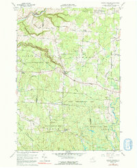
1959 Map of Barnes Corners
USGS Topo · Published 1992About this map
Barnes Corners sits at the heart of this landscape, surrounded by an extensive State Reforestation Area that dominates much of the terrain in Pinckney, Rodman, and Worth. The map reveals a network of deeply incised ravines known locally as gulfs, including Shingle Gulf, Inman Gulf, and Bear Gulf, where Sandy Creek and its tributaries have carved through the plateau. This mid-century survey illustrates a rural region defined by dispersed crossroads settlements like Cronk Corners and Seven-by-Nine Corners, while the presence of family-named roads such as Jeep Charles Road and Gardner Road suggests long-established local landholdings. To the east, the Deer River flows toward Montague, passing near industrial markers like a Gravel Pit and a prominent Microwave Tower near Forks Number Two, indicating the gradual integration of modern infrastructure into this heavily forested upstate New York district.
Find a feature on this map
51 named features on this map. Tap any name to fly to it.
Don’t see what you’re looking for? This feature index may not catch every label — zoom into the map to look around manually.
Map Details
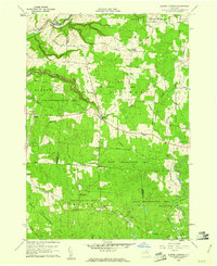
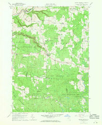
Editions of this 1959 Barnes Corners Map
Other maps of this area

1895 · Watertown
USGS Topo · 1:62,500

1898 · Watertown
USGS Topo · 1:62,500

1902 · Carthage
USGS Topo · 1:62,500

1903 · Orwell
USGS Topo · 1:62,500

1904 · Carthage
USGS Topo · 1:62,500

1905 · Orwell
USGS Topo · 1:62,500

1906 · Highmarket
USGS Topo · 1:62,500

1908 · Watertown
USGS Topo · 1:62,500

1909 · Watertown
USGS Topo · 1:62,500

1942 · Copenhagen
USGS Topo · 1:24,000