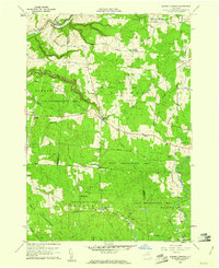
1959 Map of Barnes Corners
USGS Topo · Published 1961About this map
The boundary between Jefferson and Lewis Counties defines this landscape of Tug Hill reforestation and deep ravine systems. Settled crossroads like Barnes Corners and the oddly named Seven-by-Nine anchor a region dominated by the State Reforestation Area, where former farmland has been reclaimed by forest. The map reveals the dramatic topography of the Tug Hill Plateau, specifically the series of "gulfs" or steep-walled canyons including Inman Gulf, Shingle Gulf, and Bear Gulf that cut through the terrain toward Sandy Creek.
Find a feature on this map
54 named features on this map. Tap any name to fly to it.
Don’t see what you’re looking for? This feature index may not catch every label — zoom into the map to look around manually.
Map Details
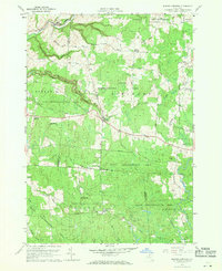
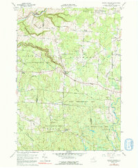
Editions of this 1959 Barnes Corners Map
Other maps of this area

1895 · Watertown
USGS Topo · 1:62,500

1898 · Watertown
USGS Topo · 1:62,500

1902 · Carthage
USGS Topo · 1:62,500

1903 · Orwell
USGS Topo · 1:62,500

1904 · Carthage
USGS Topo · 1:62,500

1905 · Orwell
USGS Topo · 1:62,500

1906 · Highmarket
USGS Topo · 1:62,500

1908 · Watertown
USGS Topo · 1:62,500

1909 · Watertown
USGS Topo · 1:62,500

1942 · Copenhagen
USGS Topo · 1:24,000