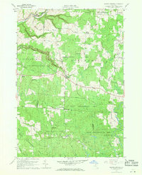
1959 Map of Barnes Corners
USGS Topo · Published 1971About this map
Barnes Corners serves as the central hub of this late 1950s landscape, where the Tug Hill plateau's characteristic geography is defined by deep ravines and extensive reforestation efforts. The map captures a transition toward managed conservation, with vast tracts designated as State Reforestation Area across the townships of Rodman, Pinckney, Worth, and Montague. Dramatic geological features like Inman Gulf and Shingle Gulf cut through the terrain, while headwaters for Sandy Creek and the Deer River originate among these high elevations.
Find a feature on this map
46 named features on this map. Tap any name to fly to it.
Don’t see what you’re looking for? This feature index may not catch every label — zoom into the map to look around manually.
Map Details
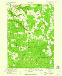
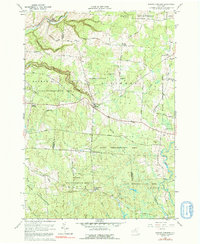
Editions of this 1959 Barnes Corners Map
Other maps of this area

1895 · Watertown
USGS Topo · 1:62,500

1898 · Watertown
USGS Topo · 1:62,500

1902 · Carthage
USGS Topo · 1:62,500

1903 · Orwell
USGS Topo · 1:62,500

1904 · Carthage
USGS Topo · 1:62,500

1905 · Orwell
USGS Topo · 1:62,500

1906 · Highmarket
USGS Topo · 1:62,500

1908 · Watertown
USGS Topo · 1:62,500

1909 · Watertown
USGS Topo · 1:62,500

1942 · Copenhagen
USGS Topo · 1:24,000