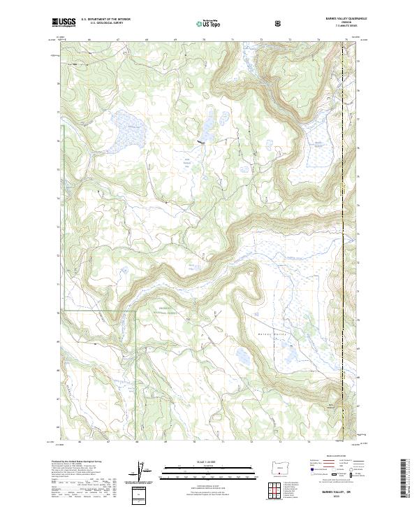
2023 Map of Barnes Valley
USGS Topo · Published 2023About this map
Fremont National Forest encompasses this high-elevation plateau, where the landscape is defined by a series of seasonal lakes, flats, and springs. The drainage patterns are intricate, with Barnes Valley Creek and Fishhole Creek winding through the basin of Barnes Valley. Many features suggest a history of seasonal water management and grazing, such as Lower Fishhole, Middle Fishhole, and the prominent Holbrook Reservoir in the northeast corner.
Find a feature on this map
31 named features on this map. Tap any name to fly to it.
Don’t see what you’re looking for? This feature index may not catch every label — zoom into the map to look around manually.
Map Details
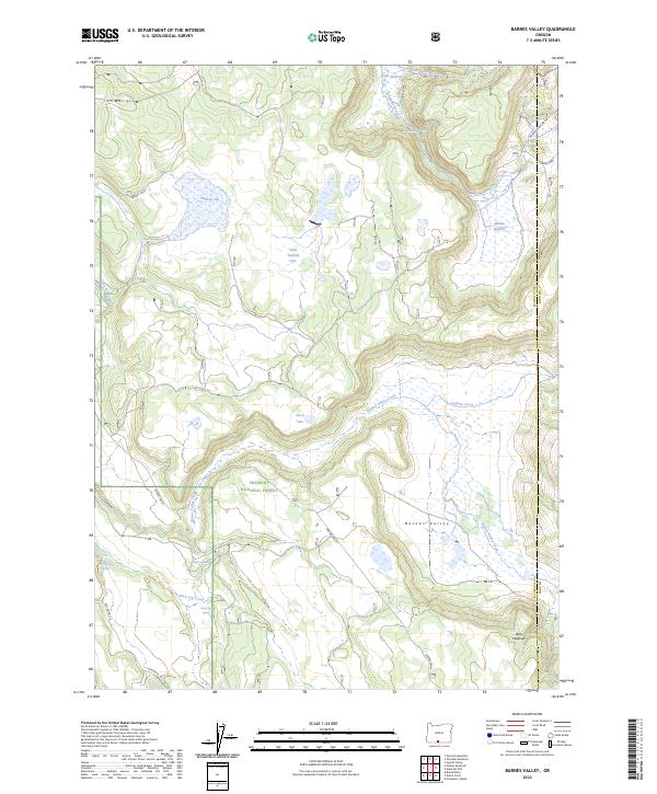
Editions of this 2023 Barnes Valley Map
2 editions found
Other maps of this area

1889 · Klamath
USGS Topo · 1:250,000

1894 · Klamath
USGS Topo · 1:250,000

1955 · Klamath Falls
USGS Topo · 1:250,000

1958 · Klamath Falls
USGS Topo · 1:250,000

1960 · Gerber Reservoir
USGS Topo · 1:62,500

1960 · Bly
USGS Topo · 1:62,500

1960 · Strawberry Butte
USGS Topo · 1:62,500

1960 · Fishhole Mtn
USGS Topo · 1:62,500

1975 · Lakeview
USGS Topo · 1:100,000
1988 · Arkansas Flat
USGS Topo · 1:24,000