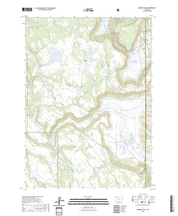
2023 Map of Barnes Valley
USGS Topo · Published 2023About this map
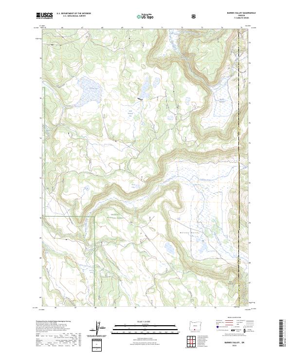
Barnes Valley serves as a central drainage basin in this high-altitude landscape of southern Oregon, where the headwaters of Barnes Valley Creek and Lapham Creek weave through the protected expanse of the Fremont National Forest. The geography is defined by its complex hydrology, featuring numerous seasonal springs and localized catchments such as Malloy Spring, Pitch Log Spring, and Burnt Log Spring. These water sources were vital for the early ranching and timber interests that shaped this portion of the Klamath-Lake county line. To the north, the terrain transitions into a series of distinctive flats and reservoirs, including Holbrook Reservoir and Middle Fishhole, illustrating the historical importance of water management in this semi-arid timberland. The presence of remote tracks like BLM RD 40-15e highlights the enduring isolation of this volcanic plateau region.
Find a feature on this map
30 named features on this map. Tap any name to fly to it.
Don’t see what you’re looking for? This feature index may not catch every label — zoom into the map to look around manually.
Map Details
Editions of this 2023 Barnes Valley Map
2 editions found
Other maps of this area

1889 · Klamath
USGS Topo · 1:250,000

1894 · Klamath
USGS Topo · 1:250,000

1955 · Klamath Falls
USGS Topo · 1:250,000

1958 · Klamath Falls
USGS Topo · 1:250,000

1960 · Gerber Reservoir
USGS Topo · 1:62,500

1960 · Bly
USGS Topo · 1:62,500

1960 · Strawberry Butte
USGS Topo · 1:62,500

1960 · Fishhole Mtn
USGS Topo · 1:62,500

1975 · Lakeview
USGS Topo · 1:100,000
1988 · Arkansas Flat
USGS Topo · 1:24,000