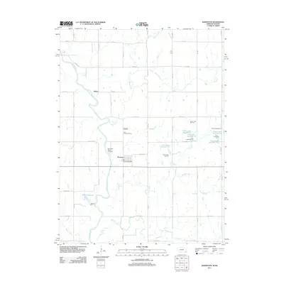
2011 Map of Barneston
USGS Topo · Published 2011About this map
Barneston anchors this agricultural landscape along the winding course of the Big Blue River at the southern edge of Gage County. The map details a sophisticated water management network established by the early 21st century, featuring the Barneston Power Plant Dam and a series of reservoirs and dams along Plum Creek, such as Plum Creek Reservoir 2-A and Plum Creek Reservoir 2-E. These structures highlight the region's historical reliance on the river for power and its modern efforts at flood control and water storage. Local history and genealogy interests are well-represented by the inclusion of the Barneston Cemetery and Saint Josephs Cemetery, located just north of the town center. The surrounding terrain is defined by several tributaries, including Mission Creek, Arkeketa Creek, and Wildcat Creek, which flow through a grid of rural roads like State Line Rd marking the Nebraska-Kansas border.
Find a feature on this map
42 named features on this map. Tap any name to fly to it.
Don’t see what you’re looking for? This feature index may not catch every label — zoom into the map to look around manually.
Map Details
Editions of this 2011 Barneston Map
This is the sole edition of this map. No revisions or reprints were ever made.
Other maps of this area

1889 · Seneca
USGS Topo · 1:125,000

1889 · Marysville
USGS Topo · 1:125,000

1894 · Seneca
USGS Topo · 1:125,000

1894 · Marysville
USGS Topo · 1:125,000

1955 · Manhattan
USGS Topo · 1:250,000

1955 · Lincoln
USGS Topo · 1:250,000

1956 · Manhattan
USGS Topo · 1:250,000

1957 · Manhattan
USGS Topo · 1:250,000

1957 · Lincoln
USGS Topo · 1:250,000

1958 · Lincoln
USGS Topo · 1:250,000