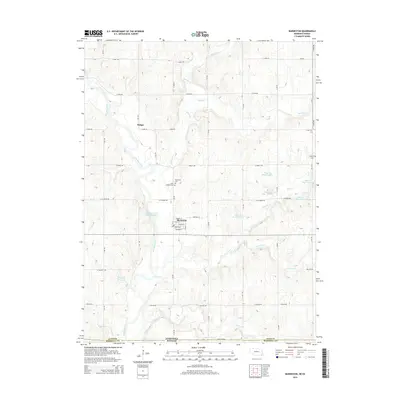
2014 Map of Barneston
USGS Topo · Published 2014About this map
The Big Blue River snakes through the heart of this landscape, anchoring the settlement of Barneston near the Nebraska-Kansas state line. This 2014 survey captures a rural landscape defined by its waterways and agricultural grid, where the Barneston Power Plant Reservoir and several Plum Creek reservoirs—including Plum Cr Reservoir 2-D and Plum Cr Reservoir 2-E—manage the region's drainage. Family and community history is preserved in sites like the Barneston Cem, Saint Josephs Cem, and Liberty Cem, which sit among the undulating terrain between Badger and the southern border. The intricate network of section-line roads, such as State Line Rd and S 108 Rd, provides a clear view of the land divisions across Gage County. Genealogists will find the specific street names within Barneston, such as Guittard St and Hartwig St, valuable for pinpointing local property and historical residency.
Find a feature on this map
50 named features on this map. Tap any name to fly to it.
Don’t see what you’re looking for? This feature index may not catch every label — zoom into the map to look around manually.
Map Details
Editions of this 2014 Barneston Map
This is the sole edition of this map. No revisions or reprints were ever made.
Other maps of this area

1889 · Seneca
USGS Topo · 1:125,000

1889 · Marysville
USGS Topo · 1:125,000

1894 · Seneca
USGS Topo · 1:125,000

1894 · Marysville
USGS Topo · 1:125,000

1955 · Manhattan
USGS Topo · 1:250,000

1955 · Lincoln
USGS Topo · 1:250,000

1956 · Manhattan
USGS Topo · 1:250,000

1957 · Manhattan
USGS Topo · 1:250,000

1957 · Lincoln
USGS Topo · 1:250,000

1958 · Lincoln
USGS Topo · 1:250,000