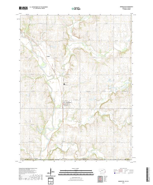
2021 Map of Barneston
USGS Topo · Published 2021About this map
Barneston sits at the heart of this agricultural landscape in southern Gage Co, Nebraska, where the Big Blue River winds south toward the State Line Rd border with Kansas. The village layout is clearly defined by local thoroughfares such as Grand Ave, Guittard St, and Leslie St, while the surrounding countryside is marked by the legacy of the Ponca people via the Chief Standing Bear Trl.
Find a feature on this map
47 named features on this map. Tap any name to fly to it.
Don’t see what you’re looking for? This feature index may not catch every label — zoom into the map to look around manually.
Map Details
Editions of this 2021 Barneston Map
This is the sole edition of this map. No revisions or reprints were ever made.
Other maps of this area

1889 · Seneca
USGS Topo · 1:125,000

1889 · Marysville
USGS Topo · 1:125,000

1894 · Seneca
USGS Topo · 1:125,000

1894 · Marysville
USGS Topo · 1:125,000

1955 · Manhattan
USGS Topo · 1:250,000

1955 · Lincoln
USGS Topo · 1:250,000

1956 · Manhattan
USGS Topo · 1:250,000

1957 · Manhattan
USGS Topo · 1:250,000

1957 · Lincoln
USGS Topo · 1:250,000

1958 · Lincoln
USGS Topo · 1:250,000