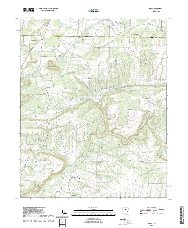
2024 Map of Barney
USGS Topo · Published 2024About this map
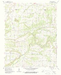
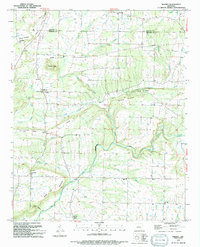
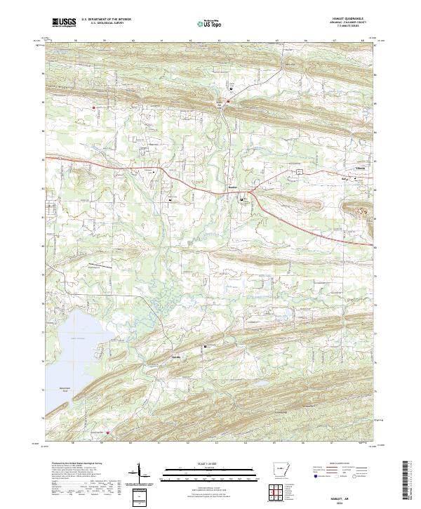
The boundary between Cleburne and Faulkner Counties defines the northern reaches of this rural landscape, where the settlement of Quitman sits near the headwaters of Mill Creek. Moving south, the terrain becomes increasingly complex as the ridges of White Oak Mtn and Becketts Mtn give way to deep drainages like Wolf Hollow. The distribution of small family and community burial grounds, including Mount Pleasant Cem, Mortar Creek Cem, and Brown Cem, underscores the established generational ties in these upland areas.
Find a feature on this map
88 named features on this map. Tap any name to fly to it.
Don’t see what you’re looking for? This feature index may not catch every label — zoom into the map to look around manually.
Map Details
Editions of this 2024 Barney Map
This is the sole edition of this map. No revisions or reprints were ever made.
Historical Maps of Quitman Through Time
13 maps found
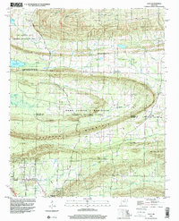
1953 Cato
Faulkner County, AR
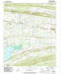
1961 Gleason
Faulkner County, AR
1961 Hamlet
Faulkner County, AR
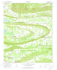
1963 Barney
Faulkner County, AR
1987 Cato
Faulkner County, AR
1991 Gleason
Faulkner County, AR
1994 Barney
Faulkner County, AR
1994 Cato
Faulkner County, AR
1994 Hamlet
Faulkner County, AR
2024 Barney
Faulkner County, AR
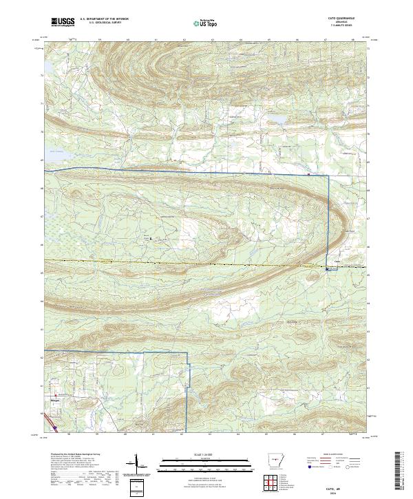
2024 Cato
Faulkner County, AR
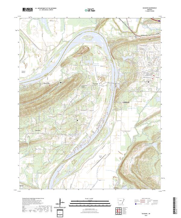
2024 Gleason
Faulkner County, AR
2024 Hamlet
Faulkner County, AR