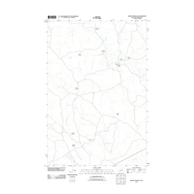
2011 Map of Barney Pinnacle
USGS Topo · Published 2011About this map
Matovich Ranch and Peterson Ranch anchor this Garfield County landscape, illustrating the enduring presence of ranching operations in central Montana. The terrain is defined by a dense network of intermittent drainages, including Bowen Coulee, Wagga Coulee, and Barkdoll Coulee, which carve through the high plains toward larger watercourses like Dog Creek and Sage Hen Creek. The namesake Barney Pinnacle and Twin Butte serve as primary vertical landmarks in an otherwise horizontal expanse of coulees and ridges.
Find a feature on this map
17 named features on this map. Tap any name to fly to it.
Don’t see what you’re looking for? This feature index may not catch every label — zoom into the map to look around manually.
Map Details
Editions of this 2011 Barney Pinnacle Map
This is the sole edition of this map. No revisions or reprints were ever made.
Other maps of this area

1954 · Jordan
USGS Topo · 1:250,000

1954 · Forsyth
USGS Topo · 1:250,000

1956 · Jordan
USGS Topo · 1:250,000

1957 · Forsyth
USGS Topo · 1:250,000

1958 · Jordan
USGS Topo · 1:250,000

1958 · Forsyth
USGS Topo · 1:250,000

1962 · Mosby
USGS Topo · 1:24,000
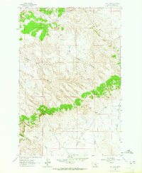
1963 · Hill Ranch
USGS Topo · 1:24,000
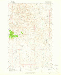
1963 · Dutton Ranch
USGS Topo · 1:24,000

1964 · Jordan
USGS Topo · 1:250,000