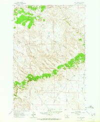
1963 Map of Hill Ranch
USGS Topo · Published 1965About this map
Hill Ranch serves as the focal point for this section of Garfield County, an area defined by a complex drainage network of high plains coulees. The landscape is carved by deep incisions such as Hughes Coulee and Melnick Coulee, which channel seasonal runoff toward larger systems like Sage Hen Creek and Dug Creek. These topographic patterns reflect the historical necessity of ranching operations to adapt to the water availability and shelter provided by the undulating terrain.
Find a feature on this map
12 named features on this map. Tap any name to fly to it.
Don’t see what you’re looking for? This feature index may not catch every label — zoom into the map to look around manually.
Map Details
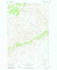
Editions of this 1963 Hill Ranch Map
2 editions found
Other maps of this area

1954 · Jordan
USGS Topo · 1:250,000

1954 · Forsyth
USGS Topo · 1:250,000

1956 · Jordan
USGS Topo · 1:250,000

1957 · Forsyth
USGS Topo · 1:250,000

1958 · Jordan
USGS Topo · 1:250,000

1958 · Forsyth
USGS Topo · 1:250,000

1962 · Mosby
USGS Topo · 1:24,000

1962 · Maxwell Ranch
USGS Topo · 1:24,000

1962 · Kincheloe Ranch
USGS Topo · 1:24,000

1962 · Mosby SE
USGS Topo · 1:24,000