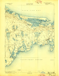
1893 Map of Barnstable
USGS Topo · Published 1898About this map
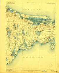
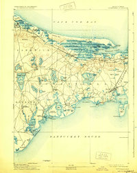
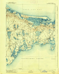
Barnstable and the surrounding coastline of Cape Cod appear here in the late nineteenth century, defined by a complex network of coastal marshes, harbors, and inland kettle ponds. The Old Colony Railroad Cape Cod Branch cuts through the northern landscape, connecting Sandwich and Yarmouth Port with stops at East Sandwich Station and West Barnstable Station. This infrastructure supported a growing seasonal economy alongside traditional maritime and agricultural activities, as seen in the cluster of coastal villages like Osterville, Cotuit, and Hyannis.
Find a feature on this map
114 named features on this map. Tap any name to fly to it.
Don’t see what you’re looking for? This feature index may not catch every label — zoom into the map to look around manually.
Map Details
Editions of this 1893 Barnstable Map
8 editions found
Other maps of this area

1886 · Falmouth
USGS Topo · 1:62,500

1886 · Plymouth
USGS Topo · 1:62,500

1887 · Yarmouth
USGS Topo · 1:62,500

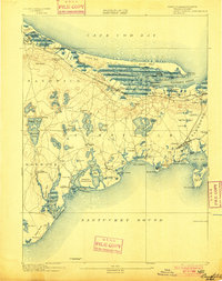
1888 · Barnstable
USGS Topo · 1:62,500

1888 · Falmouth
USGS Topo · 1:62,500

1889 · Plymouth
USGS Topo · 1:62,500

1889 · Yarmouth
USGS Topo · 1:62,500

1893 · Yarmouth
USGS Topo · 1:62,500

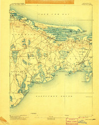
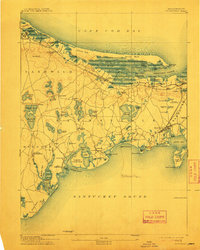
1893 · Barnstable
USGS Topo · 1:62,500

1893 · Falmouth
USGS Topo · 1:62,500