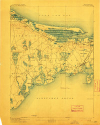
1893 Map of Barnstable
USGS Topo · Published 1913About this map
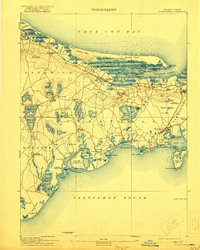
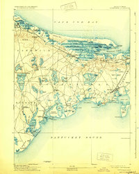
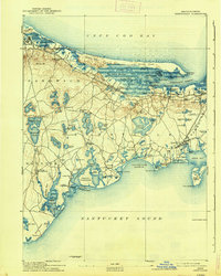
The Great Marshes and a dense network of coastal waterways define the mid-Cape landscape during the late nineteenth century. This survey documents the critical infrastructure of a maritime economy, where the Old Colony Railroad Cape Cod Branch links shorefront villages like Hyannis and Yarmouth Port to mainland trade routes. The map preserves several vanished or evolved local landmarks, including the Spring Hill Academy near Sandwich and the Indian Meeting House in Mashpee, reflecting the region's deep educational and cultural roots.
Find a feature on this map
124 named features on this map. Tap any name to fly to it.
Don’t see what you’re looking for? This feature index may not catch every label — zoom into the map to look around manually.
Map Details
Editions of this 1893 Barnstable Map
8 editions found
Other maps of this area

1886 · Falmouth
USGS Topo · 1:62,500

1886 · Plymouth
USGS Topo · 1:62,500

1887 · Yarmouth
USGS Topo · 1:62,500

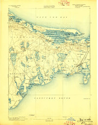
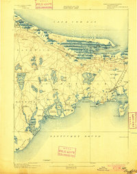
1888 · Barnstable
USGS Topo · 1:62,500

1888 · Falmouth
USGS Topo · 1:62,500

1889 · Plymouth
USGS Topo · 1:62,500

1889 · Yarmouth
USGS Topo · 1:62,500

1893 · Yarmouth
USGS Topo · 1:62,500

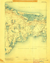
1893 · Barnstable
USGS Topo · 1:62,500

1893 · Falmouth
USGS Topo · 1:62,500