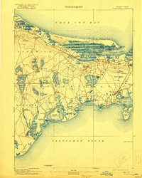
1893 Map of Barnstable
USGS Topo · Published 1922About this map
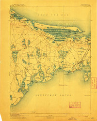
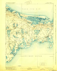
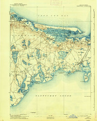
The Great Marshes dominate the northern shoreline of this late 19th-century survey, stretching between Scorton Neck and Sandy Neck to protect Barnstable Harbor. The landscape is a complex network of coastal wetlands and tidal inlets like Scorton Creek and Spring Creek, which provided essential salt hay and maritime access for early settlers. Inland, the map reveals a distribution of small villages and family-named localities such as Marstons Mills, Pondsville, and Farmersville, often established near the numerous freshwater ponds that dot the interior.
Find a feature on this map
119 named features on this map. Tap any name to fly to it.
Don’t see what you’re looking for? This feature index may not catch every label — zoom into the map to look around manually.
Map Details
Editions of this 1893 Barnstable Map
8 editions found
Other maps of this area

1886 · Falmouth
USGS Topo · 1:62,500

1886 · Plymouth
USGS Topo · 1:62,500

1887 · Yarmouth
USGS Topo · 1:62,500

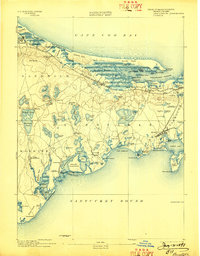
1888 · Barnstable
USGS Topo · 1:62,500

1888 · Falmouth
USGS Topo · 1:62,500

1889 · Plymouth
USGS Topo · 1:62,500

1889 · Yarmouth
USGS Topo · 1:62,500

1893 · Yarmouth
USGS Topo · 1:62,500

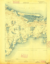
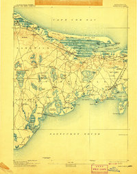
1893 · Barnstable
USGS Topo · 1:62,500

1893 · Falmouth
USGS Topo · 1:62,500