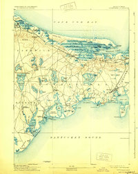
1893 Map of Barnstable
USGS Topo · Published 1929About this map
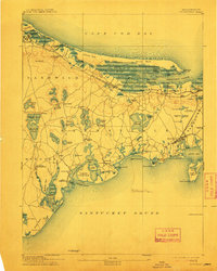
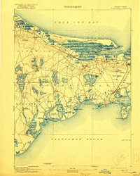
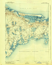
The Great Marshes and the intricate barrier system of Sandy Neck define the northern shoreline of the Cape in this late 19th-century survey. The landscape is dominated by the Old Colony Railroad Cape Cod Branch, which serves as the primary artery connecting the coastal villages of Sandwich, Barnstable, and Yarmouth Port. This era shows a maritime economy transitioning into the early days of coastal tourism, with notable landmarks such as the Yarmouth Camp Grounds and the Indian Meeting House in Mashpee grounding the area's local history. Navigational aids like Sandy Neck Light and the offshore Succonesset Shoal Light Vessel reflect the vital seafaring traffic of the time. To the south, numerous inland ponds and coastal reaches like Hyannis Harbor and Cotuit Port reveal a complex network of landings and small settlements.
Find a feature on this map
127 named features on this map. Tap any name to fly to it.
Don’t see what you’re looking for? This feature index may not catch every label — zoom into the map to look around manually.
Map Details
Editions of this 1893 Barnstable Map
8 editions found
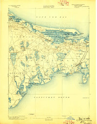
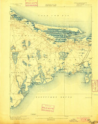
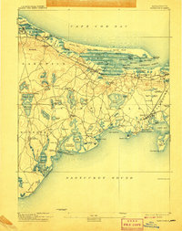
Other maps of this area

1886 · Falmouth
USGS Topo · 1:62,500

1886 · Plymouth
USGS Topo · 1:62,500

1887 · Yarmouth
USGS Topo · 1:62,500

1888 · Barnstable
USGS Topo · 1:62,500

1888 · Falmouth
USGS Topo · 1:62,500

1889 · Plymouth
USGS Topo · 1:62,500

1889 · Yarmouth
USGS Topo · 1:62,500

1893 · Yarmouth
USGS Topo · 1:62,500

1893 · Barnstable
USGS Topo · 1:62,500

1893 · Falmouth
USGS Topo · 1:62,500