
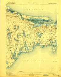
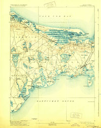
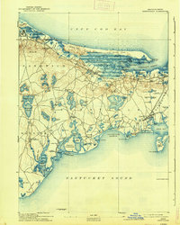
1893 Map of Barnstable
USGS Topo · Published 1893About this map
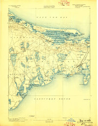
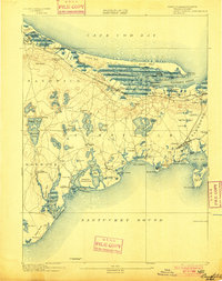
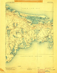
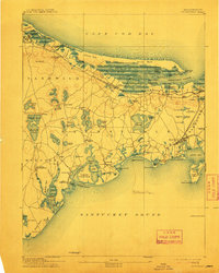
Barnstable and its surrounding villages on the Cape are presented here during a period of established maritime and rail commerce. The north shore is defined by the expansive Great Marshes and the protective barrier of Sandy Neck, where the Sandy Neck Light guided vessels into Barnstable Harbor. The interior landscape is a dense network of freshwater ponds such as Long Pond and Dennis Pond, punctuated by early educational and religious landmarks like Spring Hill Academy and the Indian Meeting House.
Find a feature on this map
131 named features on this map. Tap any name to fly to it.
Don’t see what you’re looking for? This feature index may not catch every label — zoom into the map to look around manually.
Map Details
Editions of this 1893 Barnstable Map
8 editions found
Other maps of this area

1886 · Falmouth
USGS Topo · 1:62,500

1886 · Plymouth
USGS Topo · 1:62,500

1887 · Yarmouth
USGS Topo · 1:62,500

1888 · Barnstable
USGS Topo · 1:62,500

1888 · Falmouth
USGS Topo · 1:62,500

1889 · Plymouth
USGS Topo · 1:62,500

1889 · Yarmouth
USGS Topo · 1:62,500

1893 · Yarmouth
USGS Topo · 1:62,500

1893 · Falmouth
USGS Topo · 1:62,500

1894 · Plymouth
USGS Topo · 1:62,500