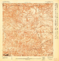
1947 Map of Barranquitas NE
USGS Topo · Published 1947About this map
Barranquitas serves as the focal point for this 1940s topographic study, situated at the headwaters of the Río Grande de Manatí. The landscape is defined by the sharp verticality of the Central Mountain Range, rising significantly at Cerro Farallón. This preliminary edition documents the intricate network of municipal boundaries between Naranjito, Comerío, and Barranquitas. Educational infrastructure is anchored by the Escuela Segunda Unidad de Río Hondo, a rural second-unit school that was part of a transformative era in Puerto Rico’s rural development. The drainage patterns of Quebrada Hondo and Quebrada La Guitarra trace the deep ravines and ridges that shaped local agriculture and early transport routes long before modern highway expansion.
Find a feature on this map
11 named features on this map. Tap any name to fly to it.
Don’t see what you’re looking for? This feature index may not catch every label — zoom into the map to look around manually.
Map Details
Editions of this 1947 Barranquitas NE Map
This is the sole edition of this map. No revisions or reprints were ever made.
Other maps of this area

1946 · Corozal
USGS Topo · 1:30,000

1946 · Barranquitas
USGS Topo · 1:30,000

1946 · Comerio
USGS Topo · 1:30,000

1946 · Naranjito
USGS Topo · 1:30,000

1947 · Corozal SO
USGS Topo · 1:10,000
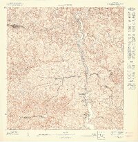
1947 · Naranjito SO
USGS Topo · 1:10,000
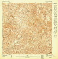
1947 · Corozal SE
USGS Topo · 1:10,000
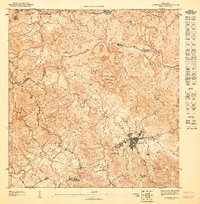
1947 · Barranquitas SE
USGS Topo · 1:10,000
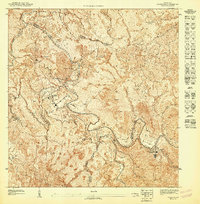
1947 · Comerio SO
USGS Topo · 1:10,000
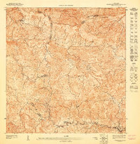
1947 · Barranquitas NO
USGS Topo · 1:10,000
Featured Places
- Comunidad Bárbara Santiago, Barranquitas
- Doña Mayo (Quebrada Grande), Barranquitas
- Sector La Puntilla, Comerío
- Vista de San Andrés, Comerío
- La Juncia, Comerío