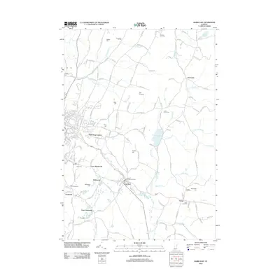
2012 Map of Barre East
USGS Topo · Published 2012About this map
Websterville and the neighboring granite-rich settlements of Graniteville and Upper Graniteville dominate the southwestern portion of this Central Vermont landscape. The geography is defined by prominent elevations such as Millstone Hill and Cobble Hill, which overlook a dense network of residential streets and local landmarks. To the east, the terrain transitions into a more rural character toward Orange and East Barre, where the Charles Fantoni Roundabout marks a modern intersection of regional routes.
Find a feature on this map
167 named features on this map. Tap any name to fly to it.
Don’t see what you’re looking for? This feature index may not catch every label — zoom into the map to look around manually.
Map Details
Editions of this 2012 Barre East Map
This is the sole edition of this map. No revisions or reprints were ever made.
Other maps of this area

1919 · Montpelier
USGS Topo · 1:62,500

1921 · Montpelier
USGS Topo · 1:62,500

1922 · Barre
USGS Topo · 1:48,000

1924 · Barre
USGS Topo · 1:62,500

1939 · Plainfield
USGS Topo · 1:48,000

1940 · Plainfield
USGS Topo · 1:62,500

1943 · Plainfield
USGS Topo · 1:62,500

1944 · Montpelier
USGS Topo · 1:62,500

1947 · Corinth
USGS Topo · 1:62,500

1948 · East Barre
USGS Topo · 1:62,500