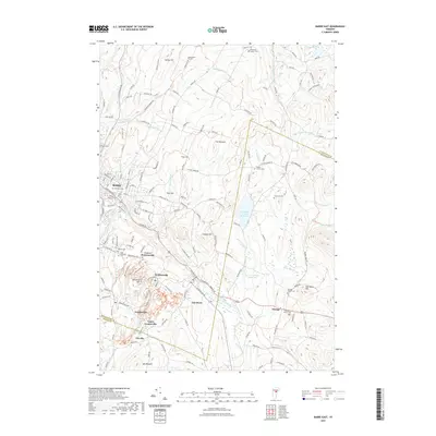
2021 Map of Barre East
USGS Topo · Published 2021About this map
Millstone Hill and the surrounding granite-rich landscape define this part of Washington County just east of the city of Barre. The map shows a high concentration of quarrying-related settlements including Graniteville, Upper Graniteville, Websterville, and Lower Websterville, reflecting the region's deep industrial heritage. These communities are tightly clustered around the hills, connected by a dense network of local roads such as Websterville Rd and Graniteville Rd.
Find a feature on this map
158 named features on this map. Tap any name to fly to it.
Don’t see what you’re looking for? This feature index may not catch every label — zoom into the map to look around manually.
Map Details
Editions of this 2021 Barre East Map
This is the sole edition of this map. No revisions or reprints were ever made.
Other maps of this area

1919 · Montpelier
USGS Topo · 1:62,500

1921 · Montpelier
USGS Topo · 1:62,500

1922 · Barre
USGS Topo · 1:48,000

1924 · Barre
USGS Topo · 1:62,500

1939 · Plainfield
USGS Topo · 1:48,000

1940 · Plainfield
USGS Topo · 1:62,500

1943 · Plainfield
USGS Topo · 1:62,500

1944 · Montpelier
USGS Topo · 1:62,500

1947 · Corinth
USGS Topo · 1:62,500

1948 · East Barre
USGS Topo · 1:62,500