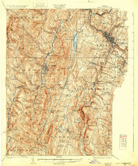
1924 Map of Barre
USGS Topo · Published 1932About this map
The granite industrial hub of Barre and the academic grounds of Norwich University anchor this early 1920s survey of Washington and Orange Counties. The landscape is defined by the steep corridors of the Winooski River and the Dog River, where the Central Vermont railroad dictates the placement of valley settlements like Northfield and Riverton. While the valley floors supported transit and education, the surrounding hillsides were engines of industry and social organization. High-elevation communities such as Graniteville and Websterville cluster near Millstone Hill, reflecting the era's intensive quarrying operations. The rural interior is remarkably dense with named school districts, including the curiously named Rabbit Hollow School and Clogston School, alongside specialized sites like the State Fish Hatchery in Roxbury. This survey captures the region just as modern infrastructure began to emerge, noted by the presence of the Barre Aviation Field.
Find a feature on this map
131 named features on this map. Tap any name to fly to it.
Don’t see what you’re looking for? This feature index may not catch every label — zoom into the map to look around manually.
Map Details
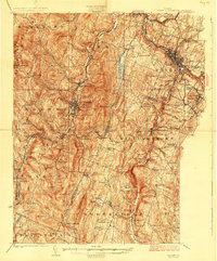
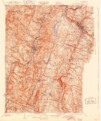
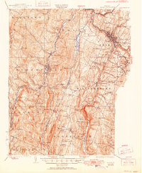
Editions of this 1924 Barre Map
5 editions found

Other maps of this area

1896 · Strafford
USGS Topo · 1:62,500

1915 · Rochester
USGS Topo · 1:62,500

1917 · Rochester
USGS Topo · 1:62,500

1919 · Royalton
USGS Topo · 1:62,500

1919 · Lincoln Mountain
USGS Topo · 1:62,500

1919 · Montpelier
USGS Topo · 1:62,500

1920 · Lincoln Mountain
USGS Topo · 1:48,000

1921 · Richmond
USGS Topo · 1:48,000

1921 · Lincoln Mountain
USGS Topo · 1:62,500

1921 · Montpelier
USGS Topo · 1:62,500