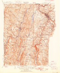
1924 Map of Barre
USGS Topo · Published 1951About this map
Norwich University stands as a prominent landmark in the Northfield valley, a central feature of this 1920s survey of Washington and Orange counties. The landscape is defined by the industrial and transport arteries of central Vermont, where the Vermont Central RR follows the Dog River and the Barre RR serves the granite-rich hills of Websterville and Graniteville. These upland settlements reflect the era's intensive quarrying, marked by a Marble Quarry and Talc Mine.
Find a feature on this map
125 named features on this map. Tap any name to fly to it.
Don’t see what you’re looking for? This feature index may not catch every label — zoom into the map to look around manually.
Map Details
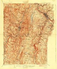
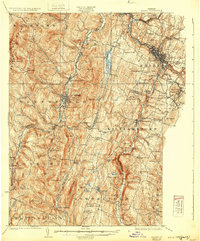
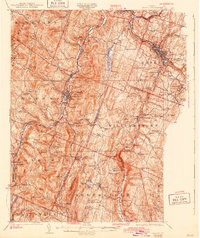
Editions of this 1924 Barre Map
5 editions found

Other maps of this area

1896 · Strafford
USGS Topo · 1:62,500

1915 · Rochester
USGS Topo · 1:62,500

1917 · Rochester
USGS Topo · 1:62,500

1919 · Royalton
USGS Topo · 1:62,500

1919 · Lincoln Mountain
USGS Topo · 1:62,500

1919 · Montpelier
USGS Topo · 1:62,500

1920 · Lincoln Mountain
USGS Topo · 1:48,000

1921 · Richmond
USGS Topo · 1:48,000

1921 · Lincoln Mountain
USGS Topo · 1:62,500

1921 · Montpelier
USGS Topo · 1:62,500