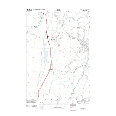
2012 Map of Barre West
USGS Topo · Published 2012About this map
Berlin Corners and the surrounding Washington County highlands are captured in this 2012 study, where the landscape is defined by its deep cemeteries and high ridges. The area between the Winooski River and Paine Mountain shows a clear pattern of historical land use, with family and parish burial grounds such as Loomis Cem and Saint Monica Cem dotting the terrain. The presence of the Edward F Knapp State Airport stands as a modern landmark against the traditional settlement patterns of South Barre.
Find a feature on this map
151 named features on this map. Tap any name to fly to it.
Don’t see what you’re looking for? This feature index may not catch every label — zoom into the map to look around manually.
Map Details
Editions of this 2012 Barre West Map
This is the sole edition of this map. No revisions or reprints were ever made.
Other maps of this area

1919 · Montpelier
USGS Topo · 1:62,500

1921 · Montpelier
USGS Topo · 1:62,500

1922 · Barre
USGS Topo · 1:48,000

1924 · Barre
USGS Topo · 1:62,500

1939 · Plainfield
USGS Topo · 1:48,000

1940 · Plainfield
USGS Topo · 1:62,500

1943 · Plainfield
USGS Topo · 1:62,500

1944 · Montpelier
USGS Topo · 1:62,500

1947 · Corinth
USGS Topo · 1:62,500

1948 · East Barre
USGS Topo · 1:62,500