
1978 Map of Barrel Springs Draw
USGS Topo · Published 1978About this map
Barrel Springs Draw cuts through the high plains of Lincoln County, revealing a landscape defined by seasonal watercourses and isolated ranching infrastructure. The settlement at Swift sits near the western edge of the quadrangle, while the drainage systems of Rock Basin Creek and Rush Creek converge toward the northeast. This topography illustrates the reliance on groundwater in the arid Colorado interior, marked by numerous wells, a spring, and a strategic tank for livestock or local use.
Find a feature on this map
13 named features on this map. Tap any name to fly to it.
Don’t see what you’re looking for? This feature index may not catch every label — zoom into the map to look around manually.
Map Details
Editions of this 1978 Barrel Springs Draw Map
This is the sole edition of this map. No revisions or reprints were ever made.
Other maps of this area

1891 · Arroyo
USGS Topo · 1:125,000

1893 · Arroyo
USGS Topo · 1:125,000

1954 · Lamar
USGS Topo · 1:250,000

1958 · Lamar
USGS Topo · 1:250,000

1978 · Aroya
USGS Topo · 1:24,000
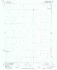
1978 · Galatea SW
USGS Topo · 1:24,000

1978 · Rock Basin
USGS Topo · 1:24,000

1978 · Stacy Lakes Draw
USGS Topo · 1:24,000
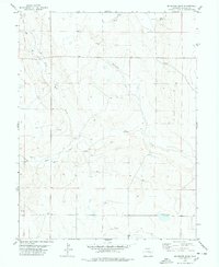
1978 · Mc Kenzie Draw
USGS Topo · 1:24,000
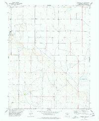
1978 · Hubbard Lake
USGS Topo · 1:24,000