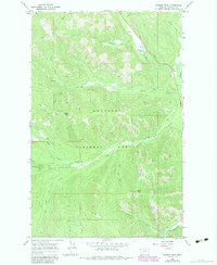
1966 Map of Barren Peak
USGS Topo · Published 1984About this map
The Kootenai National Forest dominates this mid-1960s terrain, recorded just as new forestry and woodland revisions were being documented. The landscape is defined by the high elevations of Barren Peak and Teeters Peak, where a lookout tower provided a critical vantage point for fire management. The map reveals the labor-intensive nature of early resource extraction and access, featuring the Waylett Mine and various prospects tucked into the drainage of the South Fork Miller Creek.
Find a feature on this map
32 named features on this map. Tap any name to fly to it.
Don’t see what you’re looking for? This feature index may not catch every label — zoom into the map to look around manually.
Map Details
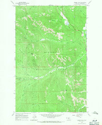
Editions of this 1966 Barren Peak Map
2 editions found
Other maps of this area

1920 · Libby
USGS Topo · 1:125,000

1920 · Jennings
USGS Topo · 1:125,000

1930 · Libby
USGS Topo · 1:125,000

1932 · Libby
USGS Topo · 1:125,000

1932 · Trout Creek
USGS Topo · 1:125,000

1935 · Thompson Lakes
USGS Topo · 1:96,000

1935 · Trout Creek
USGS Topo · 1:125,000

1936 · Trout Creek
USGS Topo · 1:125,000

1937 · Thompson Falls
USGS Topo · 1:125,000

1942 · Thompson Lakes
USGS Topo · 1:125,000