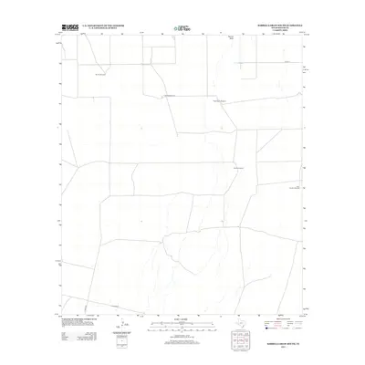
2012 Map of Barrilla Draw South
USGS Topo · Published 2012About this map
Hoefs Ranch and a network of isolated water sources define this West Texas landscape in Reeves County. The terrain is characterized by the prominent drainage of Barrilla Draw, which runs through a region where life and cattle ranching centered on specific, named infrastructure. Notable points of interest include Bacotes Windmill, Old Well Windmill, and Hugh Moore Windmill, each serving as a critical landmark for navigation and livestock management in an arid environment. The map details the local road network connecting these points, such as Hoefs Rd and Co Rd-111, showing the distribution of family-named features like West Sanders Windmill and Orchard Windmill. These labels provide specific data points for genealogists and local historians tracing land use and ranching heritage in the Trans-Pecos region during the early 21st century.
Find a feature on this map
9 named features on this map. Tap any name to fly to it.
Don’t see what you’re looking for? This feature index may not catch every label — zoom into the map to look around manually.
Map Details
Editions of this 2012 Barrilla Draw South Map
This is the sole edition of this map. No revisions or reprints were ever made.
Other maps of this area

1894 · Fort Davis
USGS Topo · 1:125,000

1897 · Fort Davis
USGS Topo · 1:125,000

1921 · Toyah
USGS Topo · 1:125,000

1929 · Hovey
USGS Topo · 1:125,000

1931 · Barstow
USGS Topo · 1:125,000

1954 · Pecos
USGS Topo · 1:250,000

1954 · Fort Stockton
USGS Topo · 1:250,000

1955 · Saragosa
USGS Topo · 1:62,500

1957 · Pecos
USGS Topo · 1:250,000

1958 · Fort Stockton
USGS Topo · 1:250,000