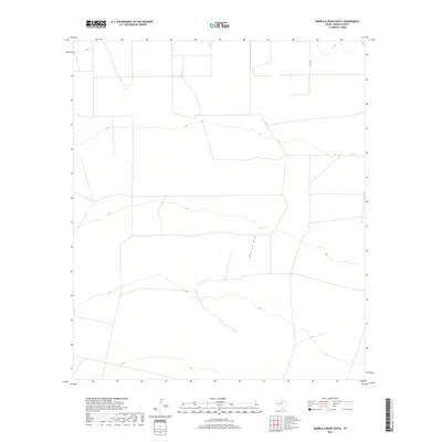
2019 Map of Barrilla Draw South
USGS Topo · Published 2019About this map
Barrilla Draw defines the drainage patterns of this arid Reeves County landscape, carving a subtle path through the high desert terrain. This part of West Texas is characterized by vast open spaces and minimal infrastructure, reflecting a modern era where the land remains primarily utilized for ranching or resource management. The map shows the intersection of local transportation and natural features, such as the northern stretch of Co Rd 111 which provides one of the few points of access into this quiet territory. Sparse contour lines illustrate the gradual elevation changes that guide water toward the draw during seasonal rains, highlighting the essential role of ephemeral watercourses in this environment.
Find a feature on this map
2 named features on this map. Tap any name to fly to it.
Don’t see what you’re looking for? This feature index may not catch every label — zoom into the map to look around manually.
Map Details
Editions of this 2019 Barrilla Draw South Map
This is the sole edition of this map. No revisions or reprints were ever made.
Other maps of this area

1894 · Fort Davis
USGS Topo · 1:125,000

1897 · Fort Davis
USGS Topo · 1:125,000

1921 · Toyah
USGS Topo · 1:125,000

1929 · Hovey
USGS Topo · 1:125,000

1931 · Barstow
USGS Topo · 1:125,000

1954 · Pecos
USGS Topo · 1:250,000

1954 · Fort Stockton
USGS Topo · 1:250,000

1955 · Saragosa
USGS Topo · 1:62,500

1957 · Pecos
USGS Topo · 1:250,000

1958 · Fort Stockton
USGS Topo · 1:250,000