
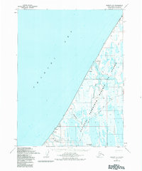
1955 Map of Barrow A-5
USGS Topo · Published 1967About this map
The Will Rogers and Wiley Post Memorial stands on this coastal stretch of the North Slope, marking the location of the 1935 plane crash that claimed two of America's most famous figures. Mapped in the mid-1950s, this remote landscape within Naval Petroleum Reserve No. 4 is defined by the interaction between the Chukchi Sea and a complex network of tundra lakes and lagoons. Transportation is limited to seasonal routes like the Winter Trail and various Tractor Trails that connect sparse landmarks. Along the coast, the settlement of Nulavik and the Loran Radio Station (Abandoned) reflect the mid-century intersection of indigenous habitation and Cold War-era navigation technology. Further inland, the drainage of the Walakpa River and Singarnaik Creek into Walakpa Bay dominates the topography, punctuated by prominent bodies of water like Kilusiktok Lake.
Find a feature on this map
18 named features on this map. Tap any name to fly to it.
Don’t see what you’re looking for? This feature index may not catch every label — zoom into the map to look around manually.
Map Details
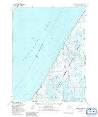
Editions of this 1955 Barrow A-5 Map
3 editions found
Other maps of this area

1945 · Barrow
USGS Topo · 1:250,000

1949 · Barrow
USGS Topo · 1:250,000

1951 · Meade River
USGS Topo · 1:250,000

1955 · Barrow
USGS Topo · 1:250,000

1955 · Barrow B-4
USGS Topo · 1:63,360

1955 · Meade River
USGS Topo · 1:250,000

1955 · Barrow A-4
USGS Topo · 1:63,360

1955 · Meade River D-2
USGS Topo · 1:63,360

1955 · Meade River D-3
USGS Topo · 1:63,360
1962 · Barrow B-4
USGS Topo · 1:50,000