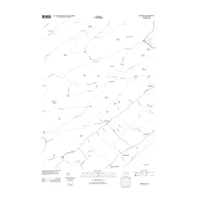
2013 Map of Barrville
USGS Topo · Published 2013About this map
Greenwood Furnace stands at the western edge of this central Pennsylvania landscape, where industrial history meets the ridges of Mifflin County. The terrain is defined by a succession of high ridges and narrow gaps, including Broad Mountain and Thickhead Mountain, which channel local waters like Standing Stone Cr and Lingle Cr. This environment shaped the early settlement patterns seen at Barrville and Kishacoquillas, which occupy the more accessible valley floors. To the east, the Mifflin County Airport and the waters of Laurel Creek Reservoir reflect modern utility, while labels like Kv Railroad Dr hint at the historic rail corridors that once served the region. The map also reveals numerous springs and geological formations, such as Ross Spring and Milligans Knob, documenting the intricate water sources and landmarks vital to local land use.
Find a feature on this map
101 named features on this map. Tap any name to fly to it.
Don’t see what you’re looking for? This feature index may not catch every label — zoom into the map to look around manually.
Map Details
Editions of this 2013 Barrville Map
This is the sole edition of this map. No revisions or reprints were ever made.
Other maps of this area

1908 · Bellefonte
USGS Topo · 1:62,500

1909 · Bellefonte
USGS Topo · 1:62,500

1919 · Menno
USGS Topo · 1:62,500

1924 · Centre Hall
USGS Topo · 1:62,500

1924 · Lewistown
USGS Topo · 1:62,500

1927 · Lewisburg
USGS Topo · 1:62,500

1929 · Centre Hall
USGS Topo · 1:62,500

1935 · Allensville
USGS Topo · 1:62,500

1938 · Allensville
USGS Topo · 1:62,500

1943 · Lewistown
USGS Topo · 1:125,000
Featured Places
- Granville Township, PA
- Kishacoquillas, Brown Township
- Harris Township, PA
- Barrville, Brown Township
- Reedsville, Brown Township