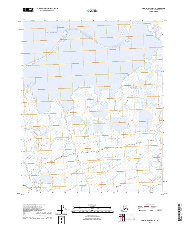
2024 Map of Barter Island A-5 SW
USGS Topo · Published 2024About this map
Arctic National Wildlife Refuge encompasses the vast majority of this landscape along the edge of the Beaufort Sea. The terrain is defined by a complex coastal boundary where the Okpilak River and Jago River meet the salt water, creating a network of intricate wetlands and channels. Off the coast, the elongated profile of Arey Island acts as a natural barrier, sheltering the waters of Arey Lagoon from the open sea. This 2024 survey illustrates the delicate hydrology of the North Slope, where the Kuvritovik Entrance serves as a critical break in the barrier islands. The absence of roads or permanent structures underscores the remote and protected nature of this arctic ecosystem, focusing instead on the intersection of river deltas and the maritime environment.
Find a feature on this map
11 named features on this map. Tap any name to fly to it.
Don’t see what you’re looking for? This feature index may not catch every label — zoom into the map to look around manually.
Map Details
Editions of this 2024 Barter Island A-5 SW Map
This is the sole edition of this map. No revisions or reprints were ever made.
Other maps of this area

1951 · Barter Island
USGS Topo · 1:250,000

1951 · Demarcation Point
USGS Topo · 1:250,000

1951 · Mt. Michelson
USGS Topo · 1:250,000

1955 · Flaxman Island
USGS Topo · 1:250,000

1955 · Demarcation Point
USGS Topo · 1:250,000

1955 · Flaxman Island A-1
USGS Topo · 1:63,360

1955 · Barter Island A-5
USGS Topo · 1:63,360

1955 · Mount Michelson D-1
USGS Topo · 1:63,360

1955 · Demarcation Point D-5
USGS Topo · 1:63,360

1956 · Mt. Michelson
USGS Topo · 1:250,000