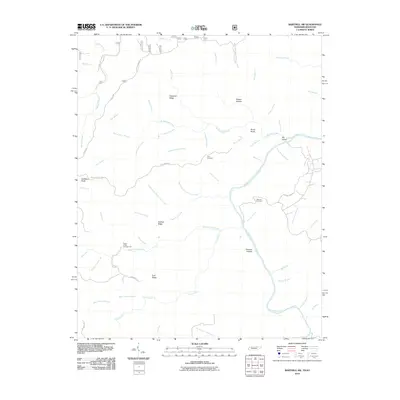
2010 Map of Barthell SW
USGS Topo · Published 2010About this map
Hatfield Ridge and Chestnut Ridge define the upland geography of this Tennessee-Kentucky borderland, where a dense network of watercourses like Station Camp Creek and the Big South Fork Cumberland River carved out the landscape. The map shows a region characterized by remote hollows and high points, including Gobblers Knob and Burke Knob. Local heritage is anchored by sites like Terry Cemetery and Slavens Cemetery, which sit alongside historic routes such as Terry Cemetery Rd and the Rock Creek-Bell Farm Rd.
Find a feature on this map
62 named features on this map. Tap any name to fly to it.
Don’t see what you’re looking for? This feature index may not catch every label — zoom into the map to look around manually.
Map Details
Editions of this 2010 Barthell SW Map
This is the sole edition of this map. No revisions or reprints were ever made.
Other maps of this area

1895 · Wartburg
USGS Topo · 1:125,000

1896 · Wartburg
USGS Topo · 1:125,000

1934 · Barthell
USGS Topo · 1:62,500

1934 · Pall Mall
USGS Topo · 1:62,500

1952 · Helenwood
USGS Topo · 1:24,000

1952 · Honey Creek
USGS Topo · 1:24,000

1954 · Stockton
USGS Topo · 1:24,000

1954 · Parmleysville
USGS Topo · 1:24,000
1954 · Barthell
USGS Topo · 1:24,000

1954 · Bell Farm
USGS Topo · 1:24,000