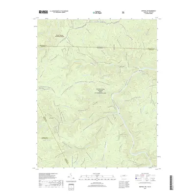
2019 Map of Barthell SW
USGS Topo · Published 2019About this map
The Big South Fork National River and Recreation Area dominates this Scott County landscape, centered on the winding Big South Fork Cumberland River. The river forms a deep valley around Big Island and is fed by numerous drainages including No Business Cr and Parch Corn Cr. Local family history is preserved at the Terry Cem and Watson Cemetery located near Hatfield Ridge.
Find a feature on this map
113 named features on this map. Tap any name to fly to it.
Don’t see what you’re looking for? This feature index may not catch every label — zoom into the map to look around manually.
Map Details
Editions of this 2019 Barthell SW Map
This is the sole edition of this map. No revisions or reprints were ever made.
Other maps of this area

1895 · Wartburg
USGS Topo · 1:125,000

1896 · Wartburg
USGS Topo · 1:125,000

1934 · Barthell
USGS Topo · 1:62,500

1934 · Pall Mall
USGS Topo · 1:62,500

1952 · Helenwood
USGS Topo · 1:24,000

1952 · Honey Creek
USGS Topo · 1:24,000

1954 · Stockton
USGS Topo · 1:24,000

1954 · Parmleysville
USGS Topo · 1:24,000
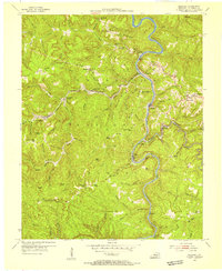
1954 · Barthell
USGS Topo · 1:24,000

1954 · Bell Farm
USGS Topo · 1:24,000