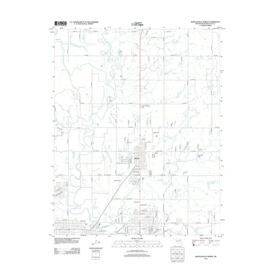
2012 Map of Bartlesville North
USGS Topo · Published 2012About this map
The Caney River and Little Caney River converge just north of the town of Dewey, Oklahoma, creating a landscape defined by meandering waterways and numerous tributaries such as Post Oak Cr and Coon Cr. This region of Washington County reflects a deep burial history, documented through several local cemeteries including Delaware Cem, Stokes Cem, and the historically significant Dewey Negro Cem.
Find a feature on this map
121 named features on this map. Tap any name to fly to it.
Don’t see what you’re looking for? This feature index may not catch every label — zoom into the map to look around manually.
Map Details
Editions of this 2012 Bartlesville North Map
This is the sole edition of this map. No revisions or reprints were ever made.
Other maps of this area

1901 · Nowata
USGS Topo · 1:125,000

1909 · Pawhuska
USGS Topo · 1:125,000

1910 · Pawhuska
USGS Topo · 1:125,000

1914 · Nowata
USGS Topo · 1:125,000

1954 · Tulsa
USGS Topo · 1:250,000

1955 · Enid
USGS Topo · 1:250,000

1958 · Enid
USGS Topo · 1:250,000

1958 · Tulsa
USGS Topo · 1:250,000

1963 · Tulsa
USGS Topo · 1:250,000
1971 · Bowring
USGS Topo · 1:24,000